
…Says amongst Nasarawa’s six borders with other states, only Benue is Troublesome…
…Dismisses claims that killer herdsmen originate from Nasarawa to attack Benue
Skirmishes arising as a result of herders crossing into Benue state to graze from neighbouring Nasarawa have been attributed to poor boundary demarcation between the two agrarian states.
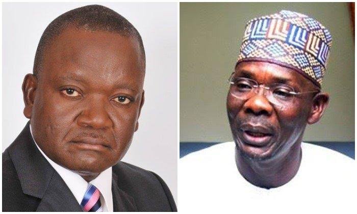
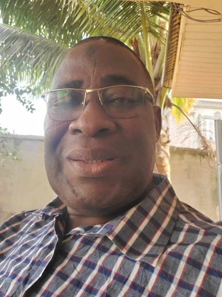
This was disclosed by the Commissioner, Nasarawa State Boundary Commission, Alh. Ibrahim Aliyu Keana, in an exclusive TMSnews interview with Steven Kefas in Abuja recently.
Aliyu stated that the boundary between Nasarawa and Benue is the only problematic one the state has at the moment.
“Truly if there is anywhere we think there is boundary problems between Nasarawa and any state, then that is our boundary with Benue state. Our boundary with Beunue becomes problematic because there is this incessant crisis between the herdsmen and the farmers.’ Aliyu said
The commissioner further stated that, the reoccurring issue of herders trespassing into Benue where there is an anti open grazing law is largely due to the fact that the boundary demarcation between the two states has not been achieved and effective enough for the herders to see and know when they are crossing the red lines.
“There have been crisis between Nasarawa and Benue in the sense that Benue state has anti open grazing law, whereas we don’t have such laws here in Nasarawa state. So if by any chance a herdsman from Nasarawa state grazes and ignorantly crosses into Benue state without even knowing that he has, then the law takes it course on such herdsmen. The solution is to make the boundaries clear through the installation of pillars and adequate demarcation so that whoever comes knows where Nasarawa ends and where Benue starts and vice versa.
It is believed that doing so as agreed at a technical meeting held in August 2021 at the instance of the National Boundary Commission, will further demonstrate goodwill, build confidence, and enhance security and trust in the areas. Besides, it was then noted that the two states were eager to see that this demarcation happens.” He said.
While lamenting that the Benue state government has been foot dragging on the demarcation by raising claims it has deliberately refused to come and substantiate before the National Boundary Commission which has led to a halt in the demarcation processes, Alh. Aliyu expressed optimism that issues surrounding the needed progress will be resolved sooner than later between the two brother states.
“When met with them in October last year(2021), based on an instrument that Nasarawa state has been banking on as a yardstick for the description of the boundary line which is the colonial instruments of 1916, 1919, 1924. Benue hitherto has been denying such documents that existed, having been a gazetted since colonial period. However, through dialogue and facts, Benue had, by last December, agreed that truly, these documents are a gazetted document.” Aliyu said.
Aliyu also narrated the various steps taken so far by the two states governments, the National Boundary Commission and the office of the Surveyor General of the federation to ensure that the boundary between the two states are clearly stated and demarcated.
“Because of our persistence that the colonial instruments have to be used, Benue state last December (2021) agreed that the documents are gazetted documents. It is based on this agreement and the definition of the documents that was made at the joint meetings of officials held in December 1988 in Makurdi between the governments of then Plateau state and Benue state. That meeting used the instruments to define our boundaries.
Also, as a follow up, we have in August last year (2021), in conjunction with the National Boundary Commission and the office of the Surveyor General of the Federation plotted a line of demarcation between Nasarawa and Benue and brought such plotting to our people for their consideration. So, having studied all the instruments, both Benue and Nasarawa had disputes in only two sectors; in Guma local government area of Benue and Keana local government area of Nasarawa state. These are the Yalwata Kadarko sector and the Tukura/Chiatta sector. So, based on that, the national boundary commission is out for demarcation; they feel such disputed areas have to be verified.
So the national boundary commission fixed February 17 to February 28 for verification and from that 28 to another 30 days is going to be for demarcation.
So we used the first 10 days for sensitisation and visits to the disputed sectors and on the 1st of March, we were able to monument (to install a pillar) at one of the controls around Yelwata, that is pillar 15. But when that was about to be made, Benue state now came and disputed that definition, insisting that there was an omission of about 10 degrees; therefore, it has to be addressed. The national boundary commission and office of the surveyor general said okay, if it is true that there is an omission, please come and explain to us, come and show us, come let’s understand ourselves.
I tell you up to this moment that I am speaking with you. Benue didn’t come up to substantiate their claims.
Officers from the office of the surveyor general, the national boundary commission and the Nasarawa state boundary commission had been in the camp we provided for them in Kadarko but Benue state came two, three times and left and since then all you hear is that they are coming or that their vehicle has problems. These people are still in the camp waiting for Benue to come so that the other pillars will be installed.
By and large, the most problematic boundary we have is the one between Nasarawa and Benue.” He said.
When asked about why he thinks the Benue state government is foot-dragging on the demarcation matter, Aliyu has this to say.

“I really don’t understand because when we plotted this map that shows the line of demarcation between the two states of Benue and Nasarawa, both Nasarawa and Benue signed the plotted map, it was based on that map that the national boundary commission and the office of the surveyor general of the Federation feel that they should come and put the lines on ground.
So now that they are dragging their feet, we really don’t understand what approach they want to give to it but as far as we are concerned, we are eager to see that this boundary is clearly demarcated so that everybody knows his limit, that does not stop Nasarawa man from having business transactions across the border line and vice versa but there should be a place that we will know that this is where our right as citizens of the state ends and where it starts.” He lamented.
Aliyu also dismissed as falsehood that the narrative that killer herdsmen attacking communities in Benue originated from Nasarawa state, saying that there is no evidence to prove that. He said the clashes between herdsmen and farmers are not limited to Benue as such also exist in Nasarawa state.
Nasarawa state has land border with Benue, Taraba, Kaduna, Plateau, Kogi, and the Federal Capital Territory Abuja. In January 2022, the Federal Capital Development Authority and the Nasrawa state government agreed to collaborate on sorting out boundary issues.